
What we are going to do
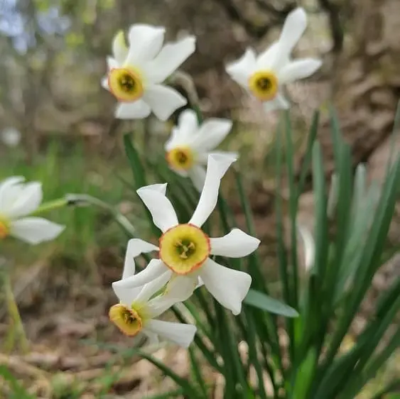
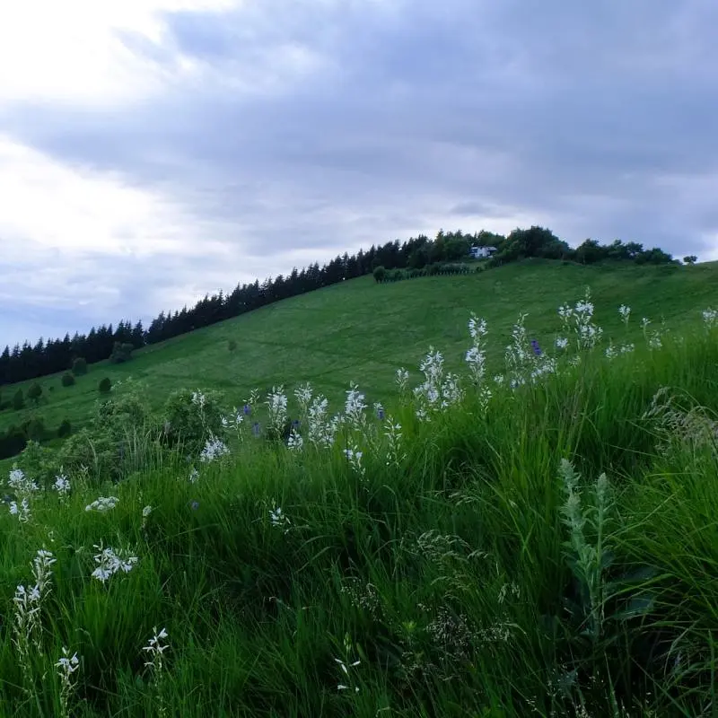
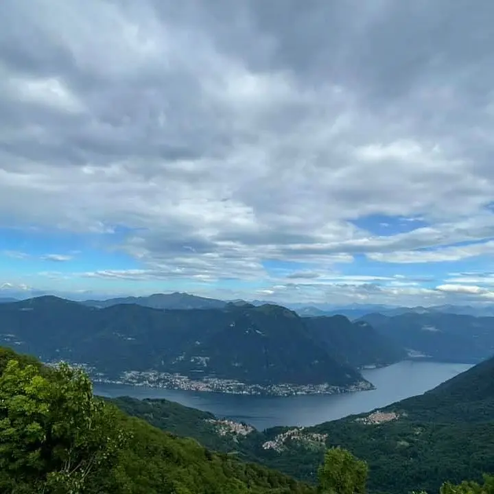
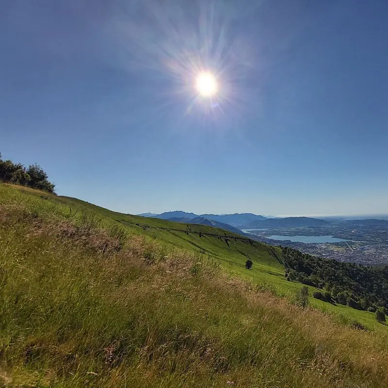
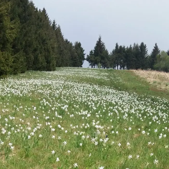
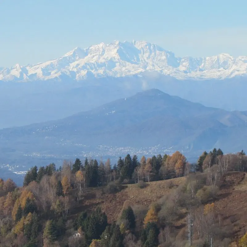
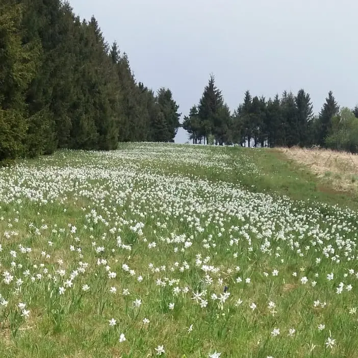
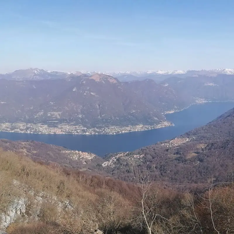
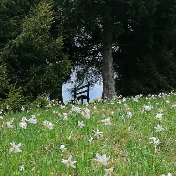
May is the time of peak daffodil bloom, which were once subject to indiscriminate collection and are now recovering. A flower that carries a great history in its intense fragrance. From the top of the mountain, if we are lucky with the weather, we will enjoy 360° panoramic views of the plain, the Apennines, the Alpine arc from Monviso to Cervino, Lake Como, and the Grigne group. Return via a different and very comfortable path.
Technical details:
- Altitude difference: 450 m
- Distance covered: 7 km
- Maximum altitude reached: 1343 m a.s.l.
General program:
- Meeting at 9.00 am at the Alpe del Viceré parking lot, near the bar at the parking lot.
- Circular hike, going here and there along the slopes of Monte Bolettone to finally reach the top;
- Picnic lunch in nature;
- Return along comfortable paths.
The program and itinerary may change depending on the weather conditions of the period, to ensure the safety of the participants. Suitable for adults and teenagers in good physical condition and physical training, as well as accustomed to walking in the mountains, considering the altitude difference and the length of the route. The hike is not suitable for people with heart, respiratory, postural, muscle problems, or significant overweight; or recently underwent surgery or are on significant medication; conditions that must be communicated to the guide in advance to assess feasibility.
Sono Sabrina Pastacaldi, torinese di nascita ma presto trapiantata tra le montagne del Comasco, dove per anni ho svolto attività di interprete e traduttrice, inglese e francese. Poi, però, hanno vinto la passione per i viaggi, intesi come immersione...
Find out moreMay snow on Mount Bolettone
Discovering the territory and the flowering of daffodils
by €25.00
Included services and info
AIGAE Environmental Hiking Guide.
Tall hiking boots; sole with good ground grip, preferably Vibram, is recommended. Hiking poles recommended to reduce load on joints and knees and give more stability. Personal backpack with supplies of water, food for packed lunch and various snacks; there are no shelters or water sources along the trail. Onion-size clothing according to season (T-shirt, long-sleeved shirt, sweatshirt or fleece, windproof/rainproof; softshell).
Italian, English, French
Dogs required to be leashed due to the presence of wild animals and with respect for other participants who may be frightened or intimidated. Forewarn, however, the Guide.
Alpe del Vicerè, Via Partigiana, 22036 Albavilla CO, Italia
Nearby bar at entrance to parking lot; cellular network difficult.
Directions.
You are on SharryLand, the Map of Wonders of rural Italy
Where Italy is told: discover and share hidden places through the eyes of those who live them. We are the network that unites countries and gives voice to communities.Find out how and why