
The Eagle Trail n. 172: From the Tremusa Caves to Scilla
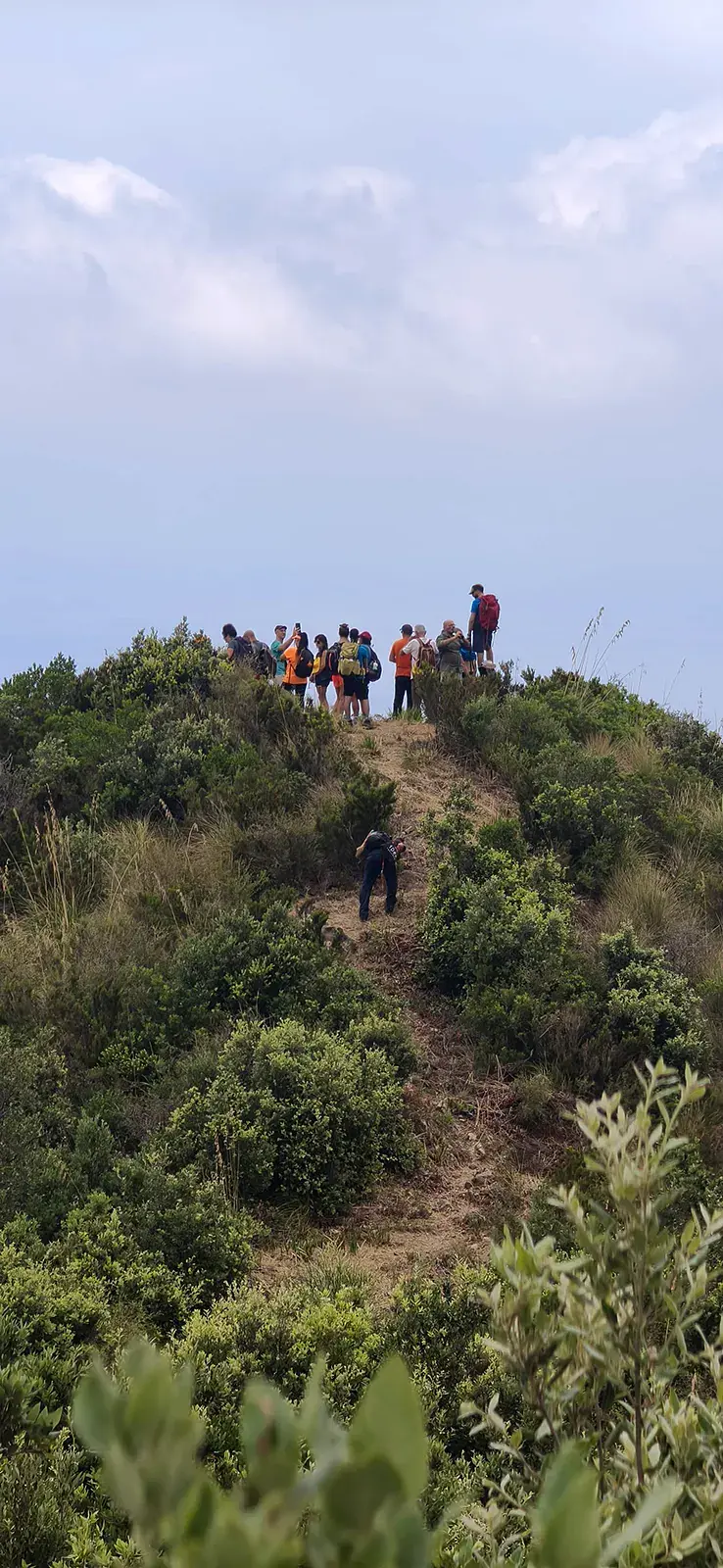
«Sentiero del'Aquila» or «Eagle trail»: a spectacular «selfie trail» with wonderful views of the sea. For nature and photography lovers.


Where

“The Paths of Myth”: Discovering the Scilla Region
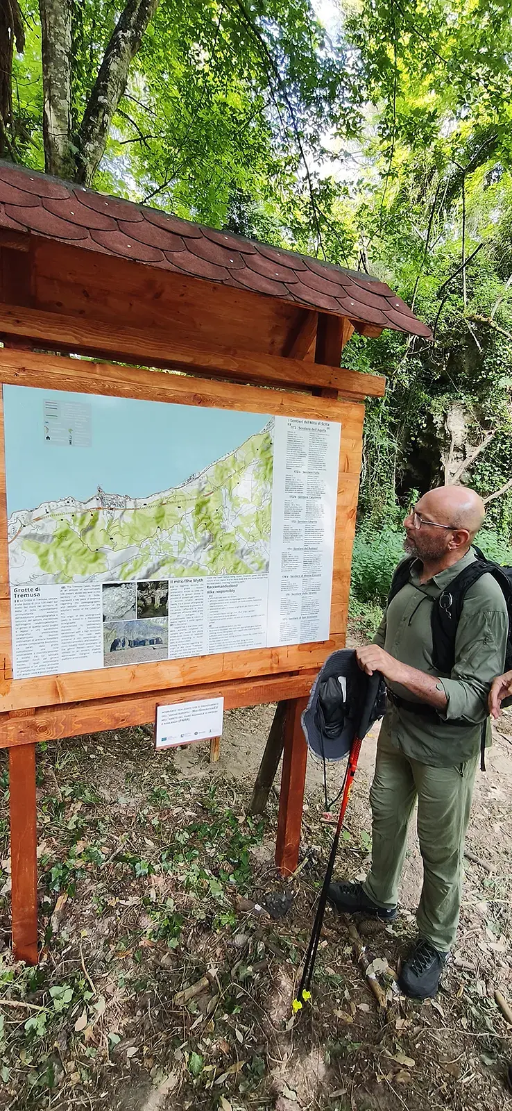
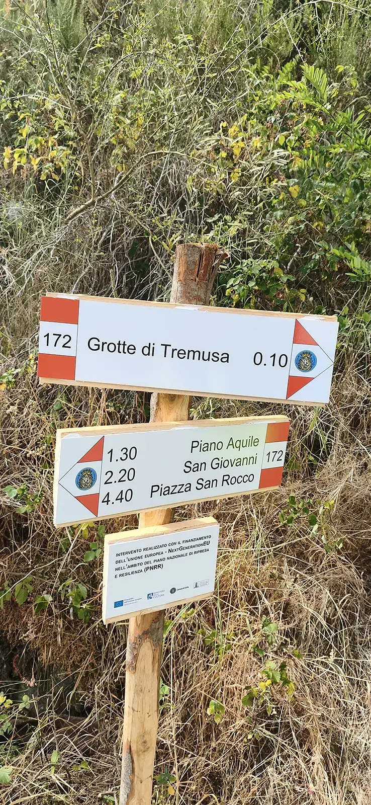
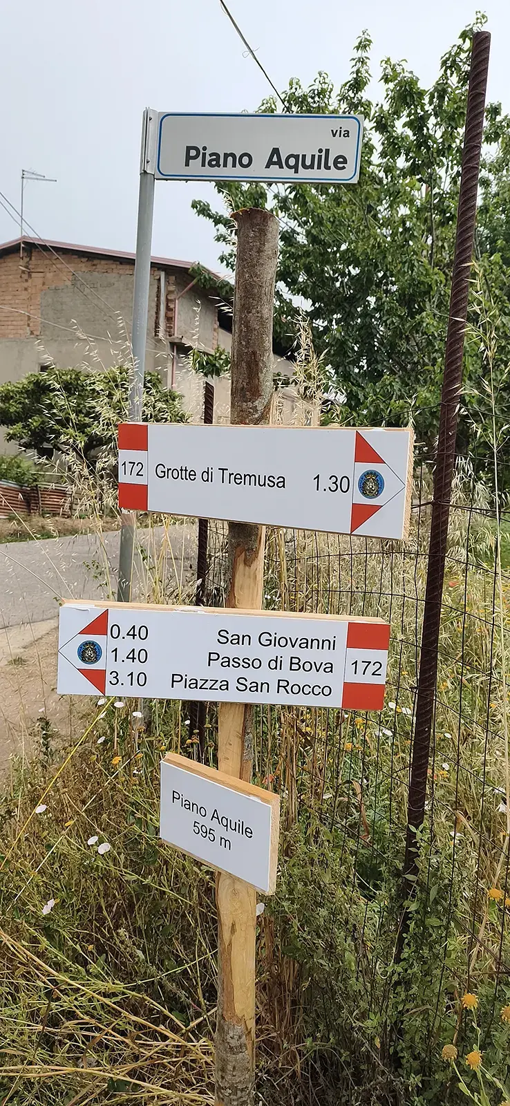
We often say that it is our responsibility to take care of the beauty that surrounds us. And it is precisely with this commitment that the Magna Graecia Outdoor association in Scilla launched a challenging restoration project in 2021 called “The Paths of Myth”: Volunteers have studied the ancient trails on cadastral maps, cleared them, and installed signage; since then, they have been maintaining the trails and guiding hikers as they exploreAspromonte.
The Eagle Trail (No. 172)
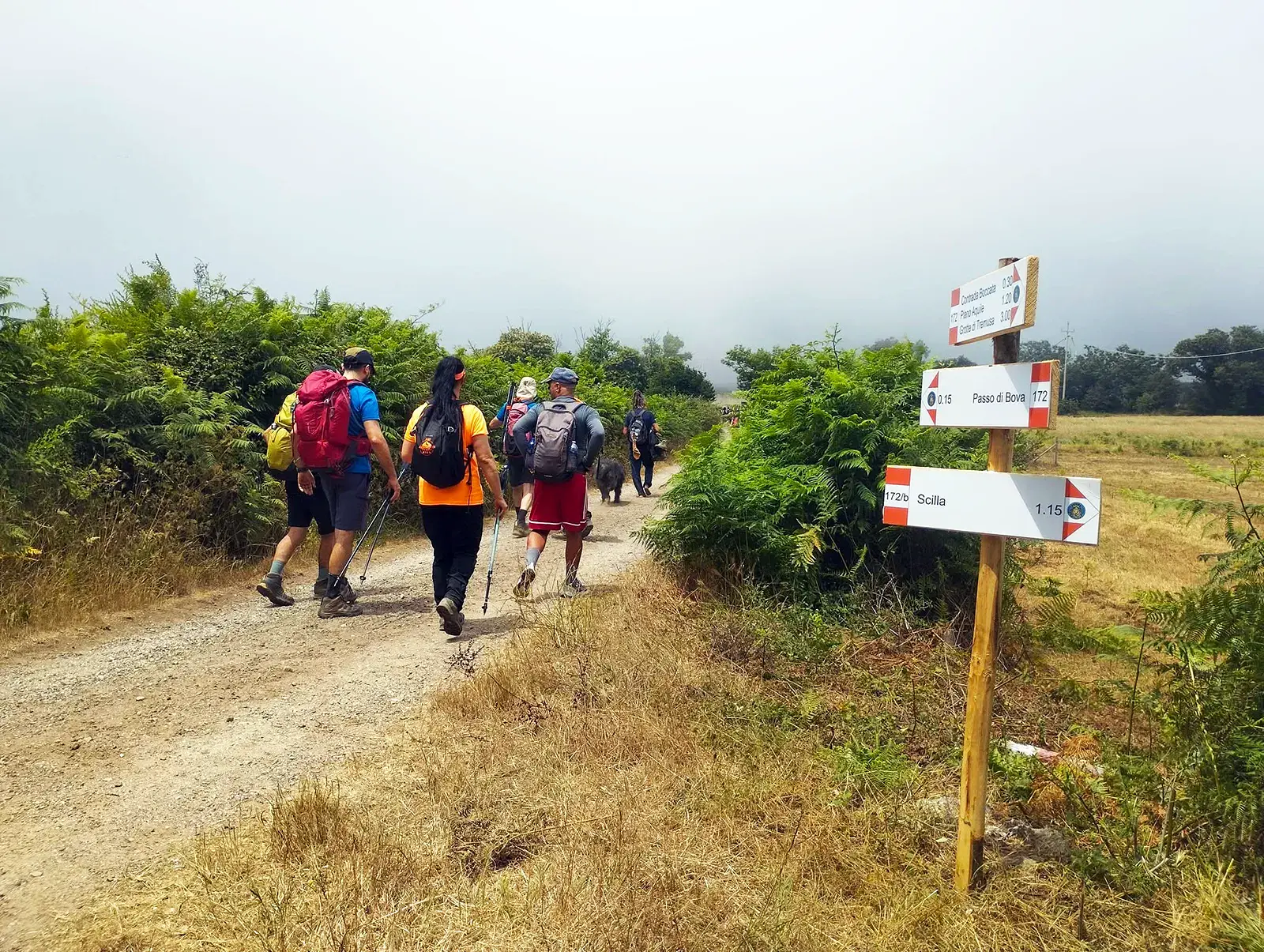
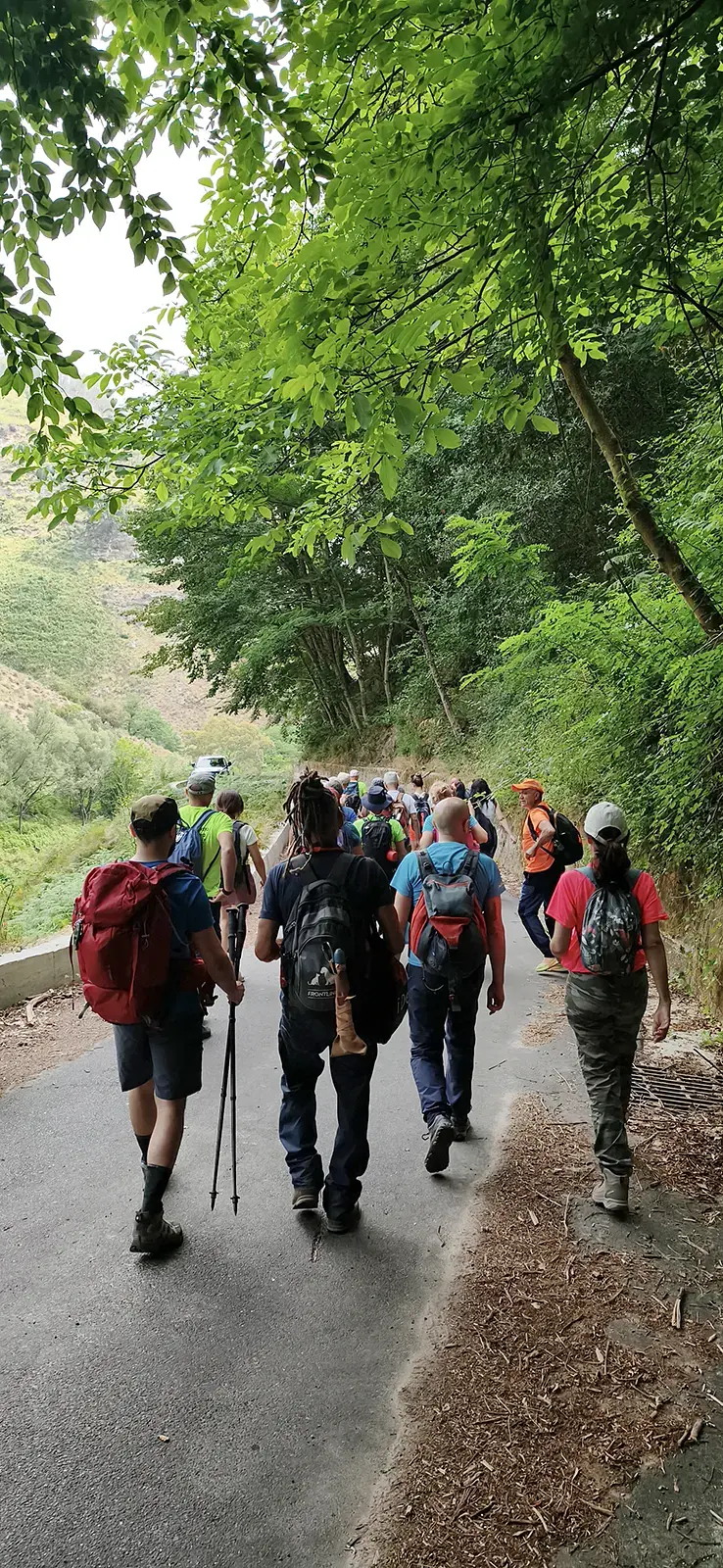
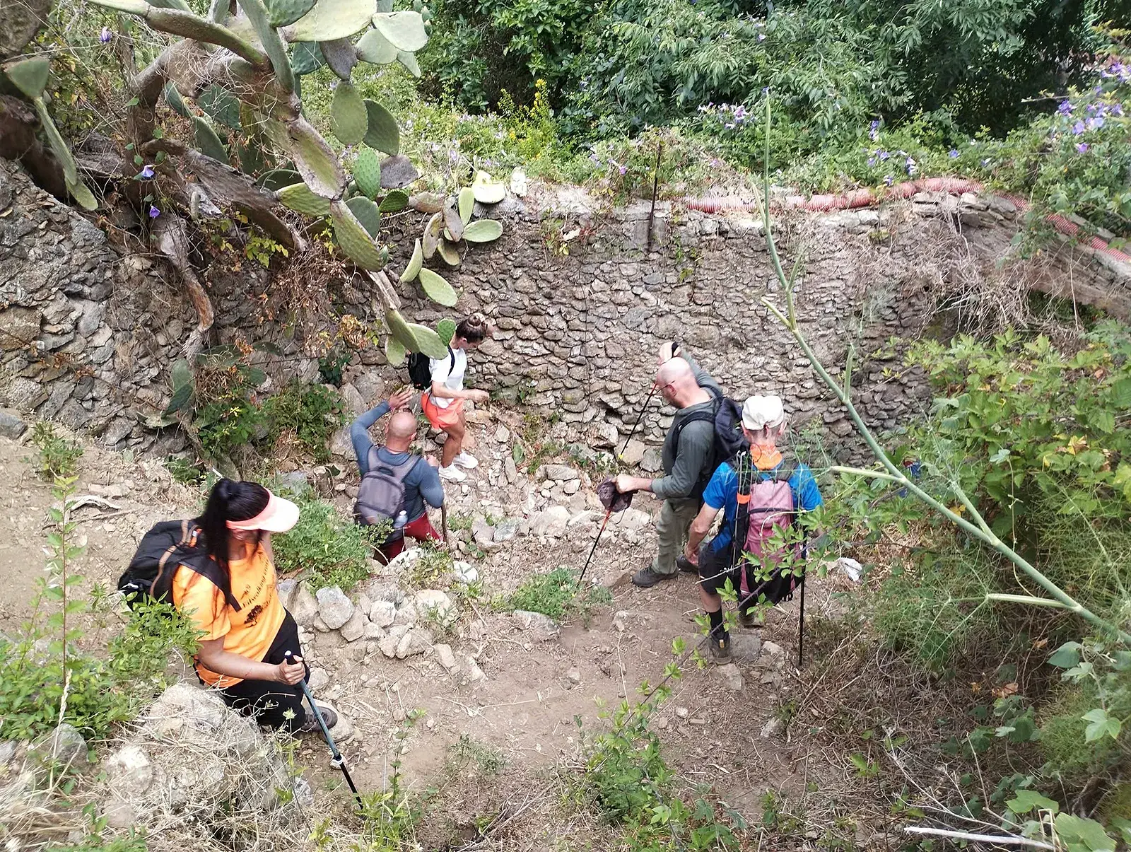
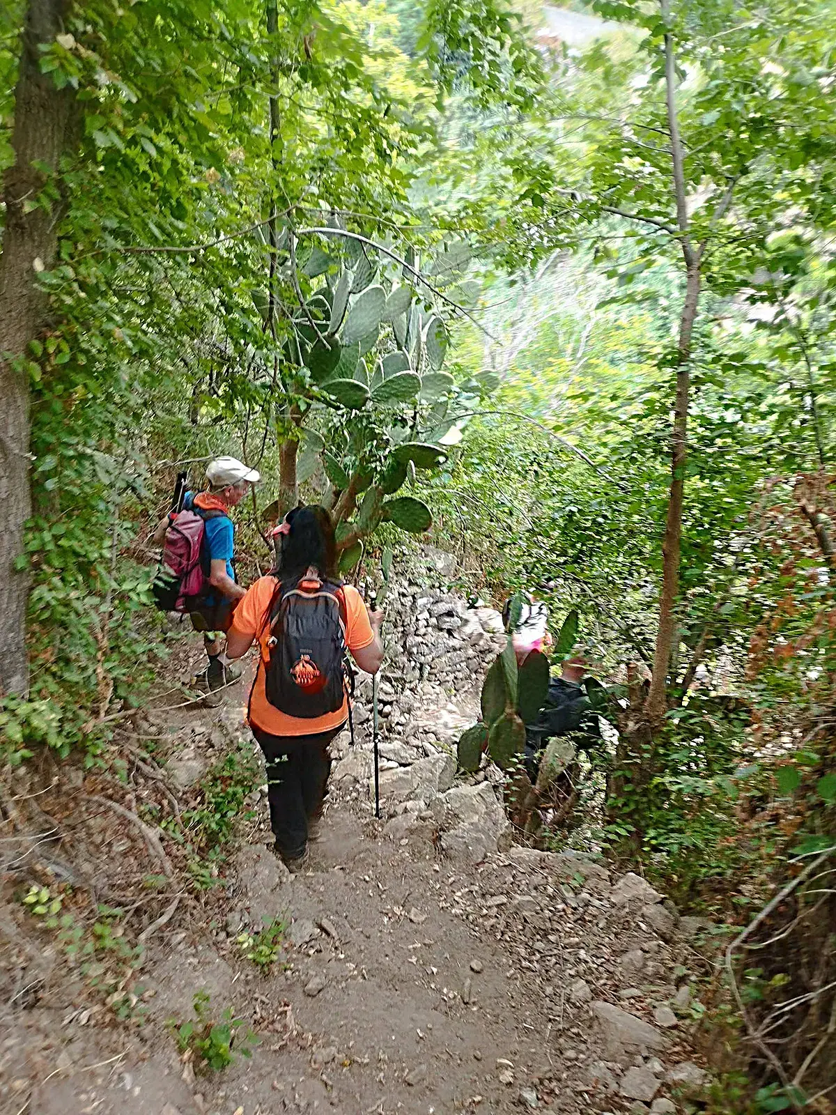
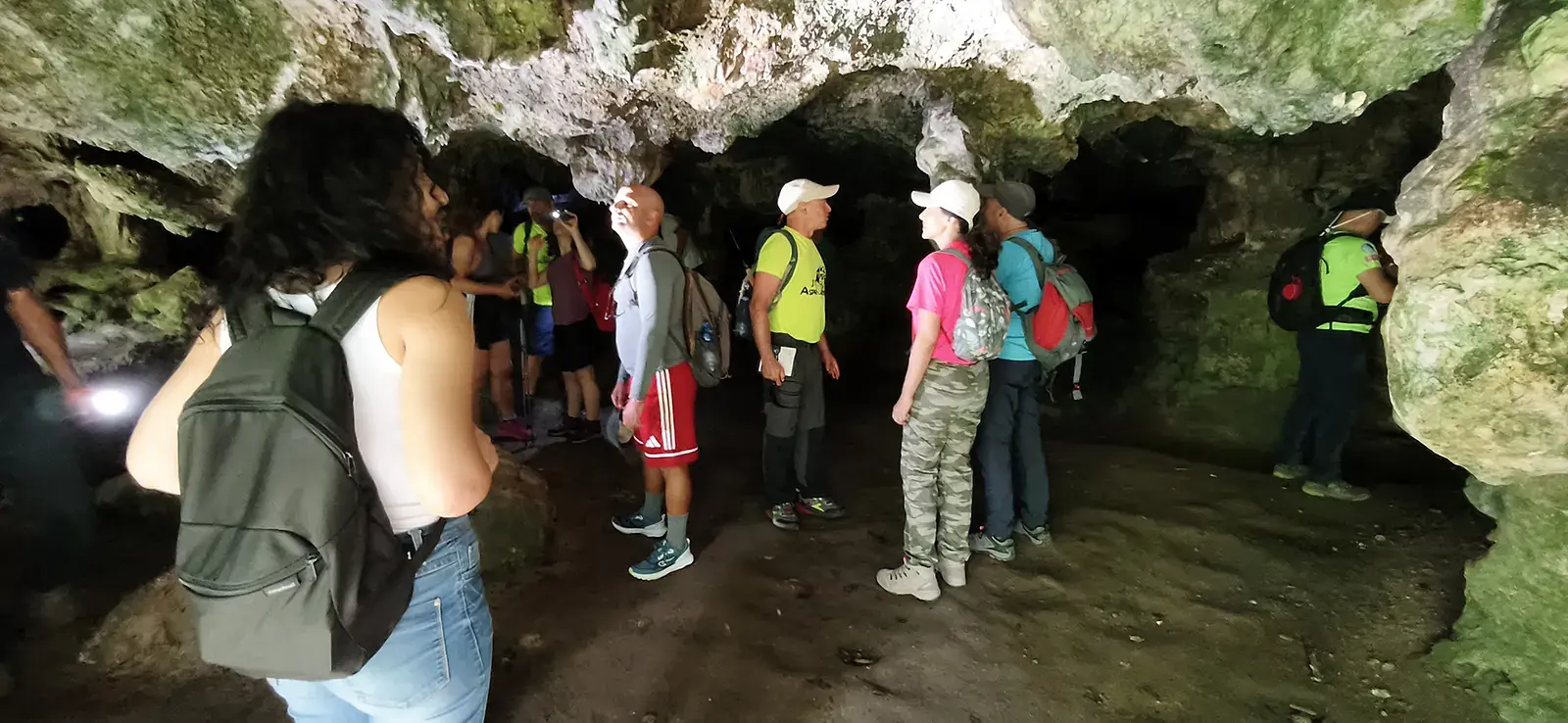
In 2026, the trail connecting the Tremusa Caves to Scilla was renovated thanks to funds from the PNRR: a great gift for all residents. On the day of the inauguration, we’ll hike downhill with guides, starting from Melia Square, near the caves. The hike is about 13 km, almost entirely downhill (elevation change: -950 m, +190 m): not too challenging (hiking level E) and best enjoyed with a camera in hand!
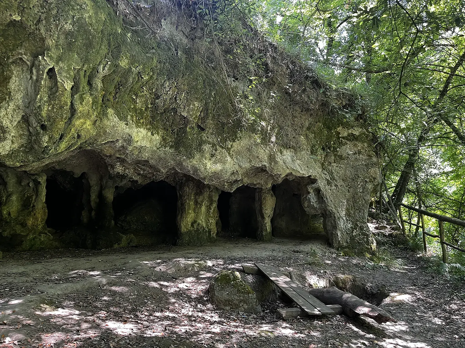
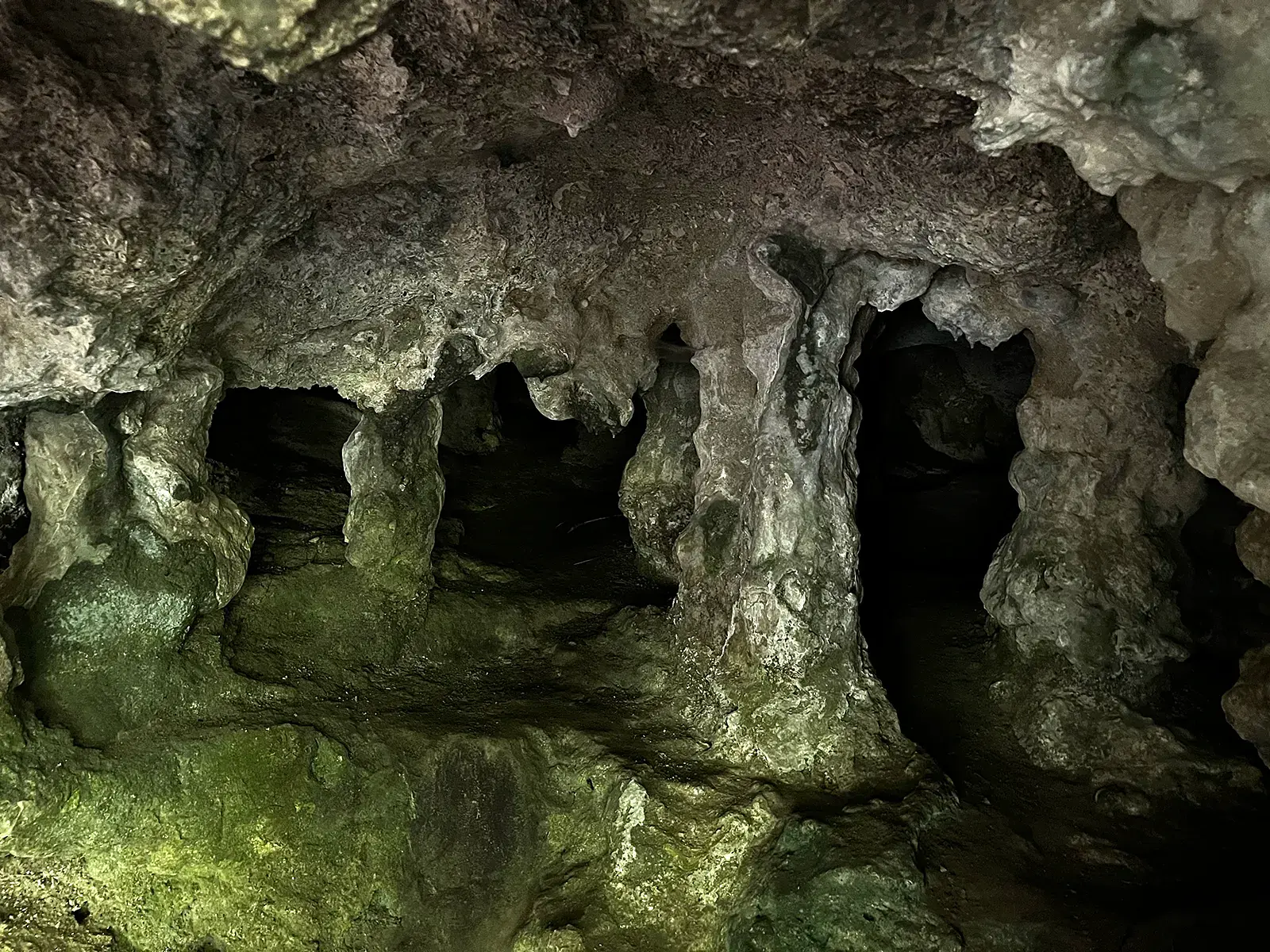
The Speleologists’ “Selfie Trail”: the Tremusa Caves
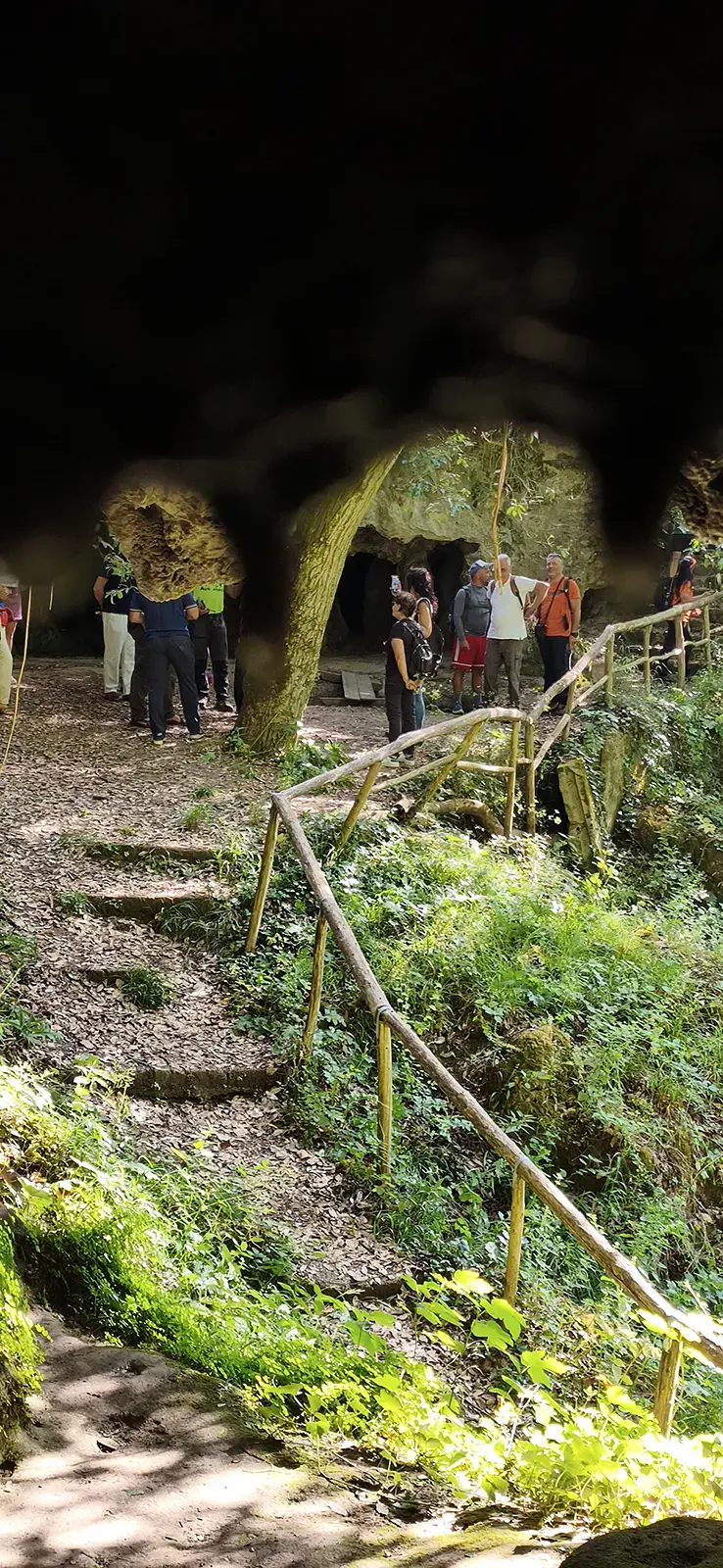
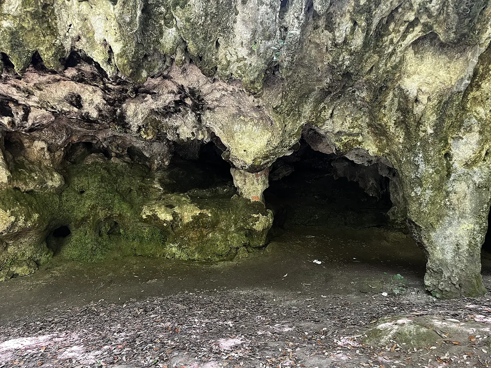
The starting point is the extraordinary Tremusa Caves, at about 500 meters above sea level: a magical and deeply evocative place, featuring enormous stalactites and stalagmites. In some places, the presence of fossilized Pecten shells in the rock hints at the scale of the tectonic movements that occurred millions of years ago. Traces of an ancient cobblestone pavement reveal that the Via Popilia— a Roman consular road connecting Capua to Reggio Calabria — once passed through here.
“Selfie Trail” for Nature Lovers
The ancient route is nestled in untamed nature, amid cork oak forests and lush Mediterranean vegetation. There’s no shortage of vineyards, olive trees, chestnut trees, and fruit trees. To tackle the slopes, farmers built daring terraces with dry-stone walls, known as “armacie”— these, too, are a must-see stop on our “selfie trail.”
Birdwatchers’ “Selfie Trail”: Migratory Birds
The Aquila Trail crosses the migration routes of many birds, including the honey buzzard (adorno). Puntone Cucullo, Monte Scrisi, Puntone Selle, Piano Aquile, and Serro Indice become exceptional observation points in the spring.
Landscape Photographers’ “Selfie Trail”: Views of the Sea
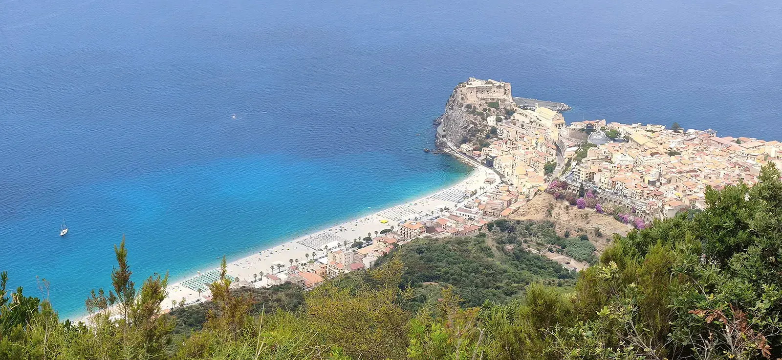
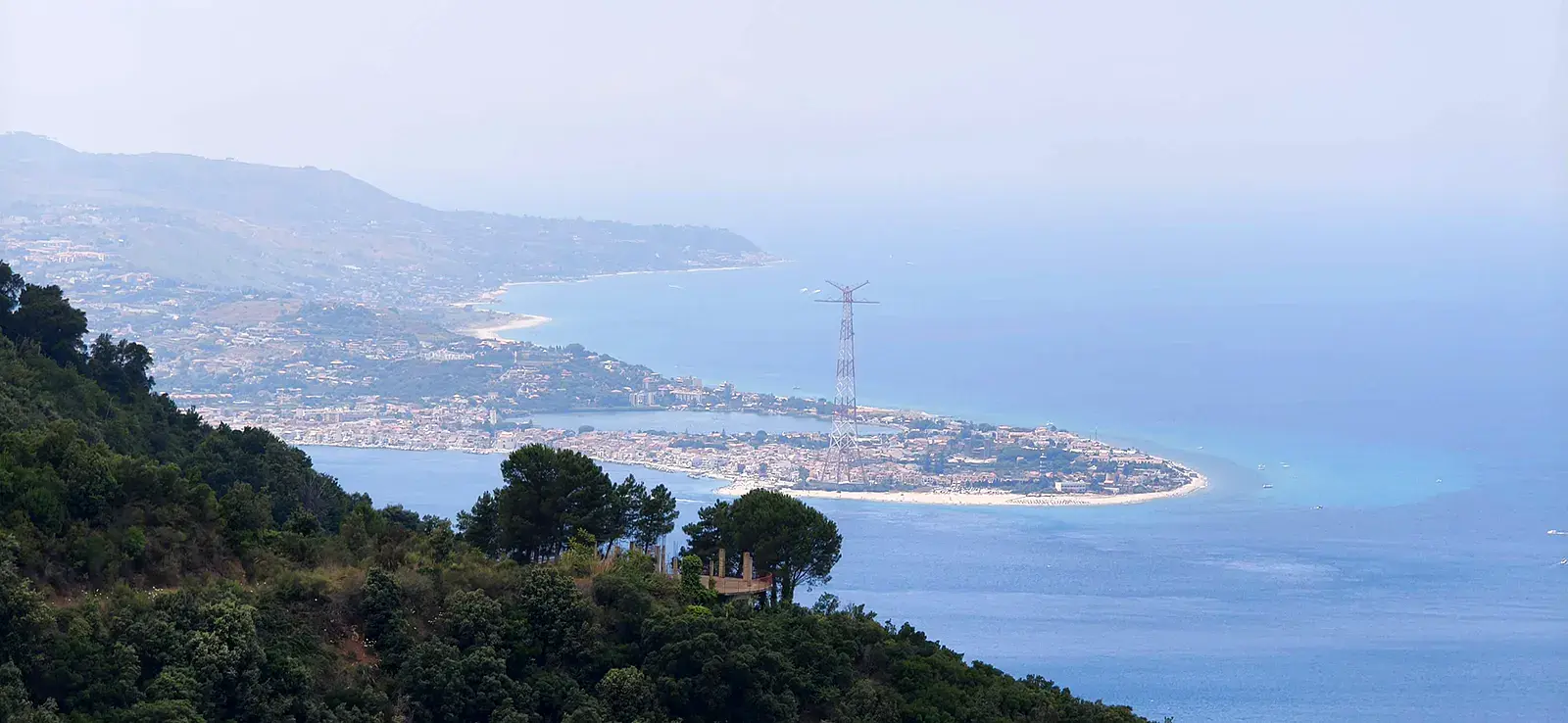
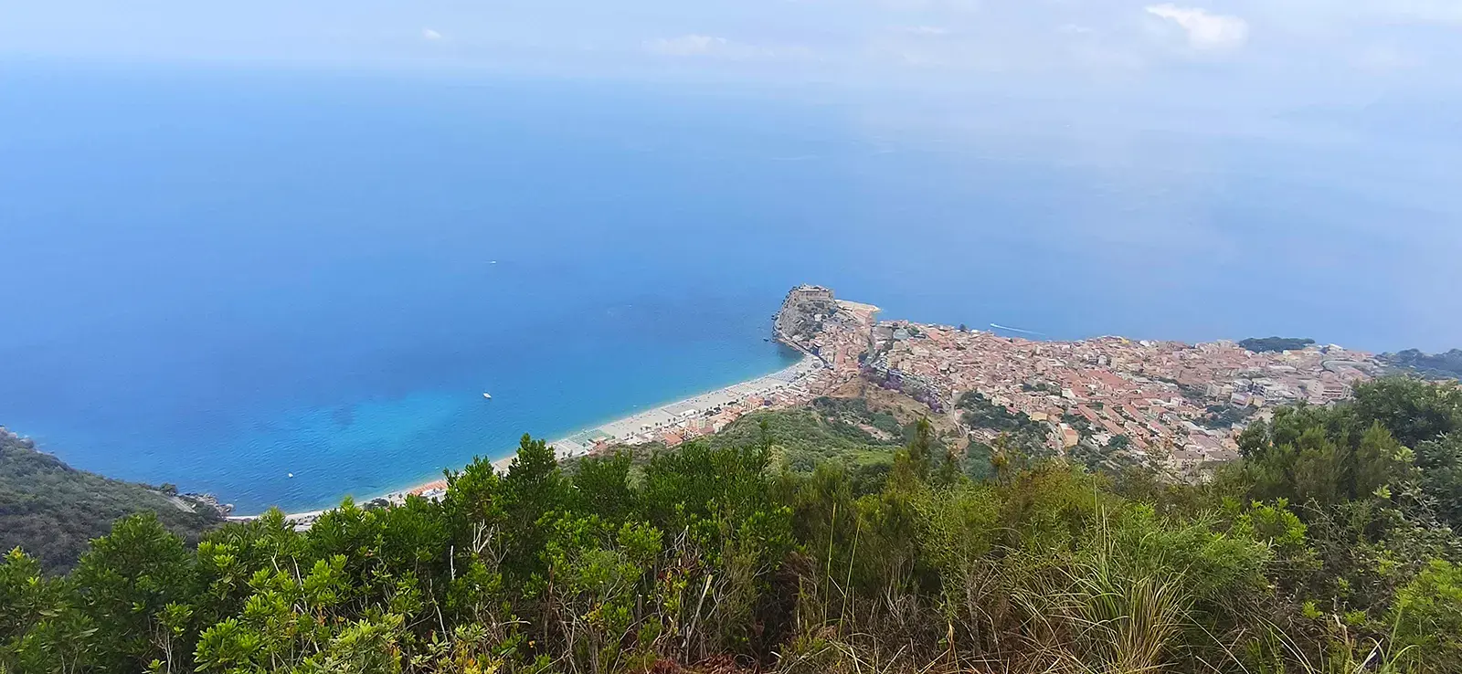
The Sentiero dell’Aquila offers splendid views of Scilla, the Strait of Messina, and the Viola Coast: on clear days, the view extends all the way to the Aeolian Islands and Capo Vaticano. Admiring Scilla from above at Puntone Selle or Puntone Cucullo, you can see why this trail is named as it is: the village is shaped like an eagle— Castello Ruffo is the head, the outstretched wings are Marina Grande and Chianalea, and the body is San Giorgio. Finally, our destination, Piazza San Rocco, is a veritable terrace overlooking the sea.
Fun Fact
Speaking of the trail’s name, the guides from the Magna Graecia Outdoor Association always recount the legend of the eagle chicks that Jupiter hurled into the sea as punishment, and of the mother eagle who, upon discovering this, came to hate and despise Jupiter. For this reason, she too was struck by his lightning bolts and plunged into the sea among her young. Her head became the rock on which Castello Ruffo stands today, and her eaglets turned into rocks.
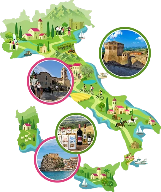
Enter the Map of Italy's Hidden Wonders and find treasures where you least expect it... Inspire, Recommend, Share...
Contacts
Collections
The Map thanks:
Enter the Map of Italy's Hidden Wonders and find treasures where you least expect it... Inspire, Recommend, Share...
Where
Contacts
Collections